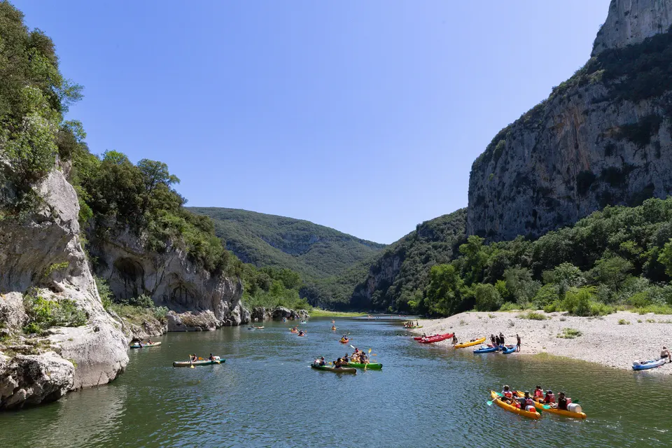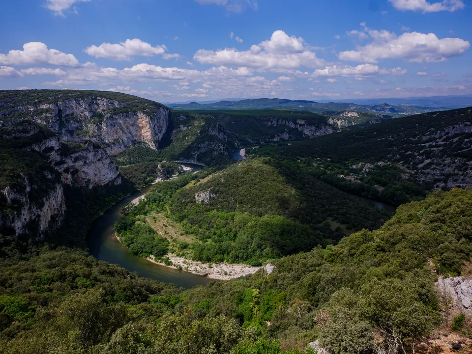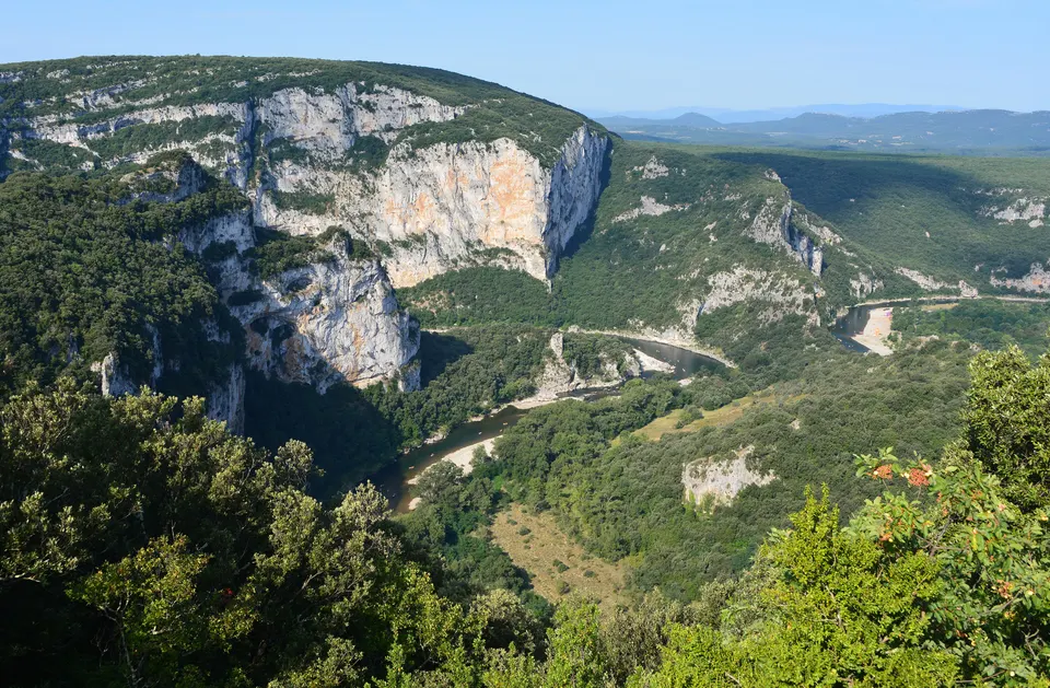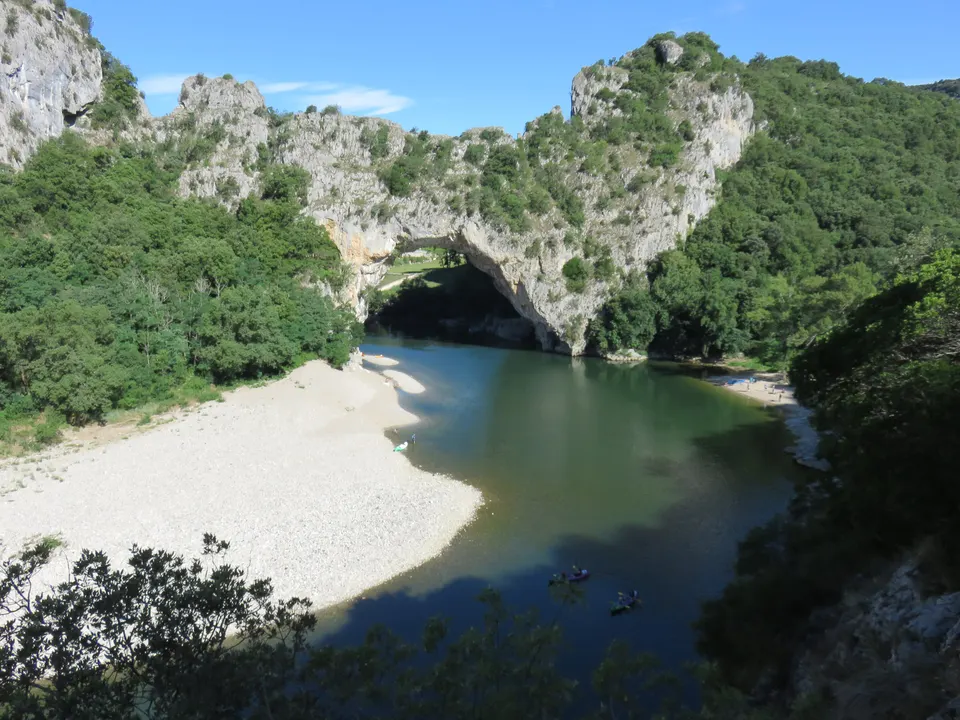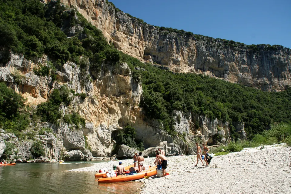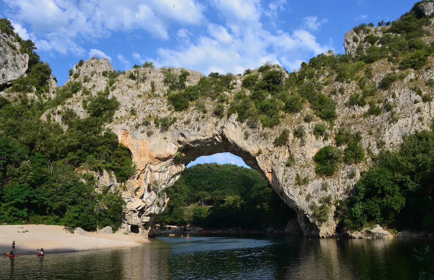
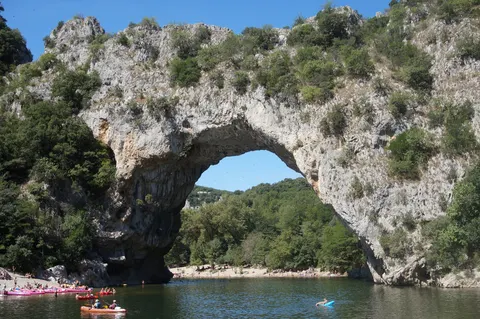
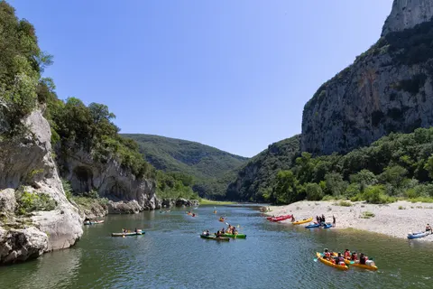
The Pont d'Arc is a natural limestone arch 59 m long and 54 m high, under which the Ardèche flows, 5 km from the village of Vallon-Pont-d'Arc. According to Wikipedia, it is the only stone arch in France over a river that still flows through it. Formed about 124,000 years ago by erosion, it has been a protected natural site since 24 January 1931 and marks the entrance to the Ardèche gorges nature reserve. You see it from the gorges road, swim from the pebble beaches, and most canoe trips pass beneath it.
Key facts
- 59 m long, 54 m high; protected site since 24 January 1931.
- 5.6 km and 8 minutes by car from central Vallon (OSRM), on the gorges road.
- The only stone arch in France over an active river, formed about 124,000 years ago.
- Paddle under it on the 7 to 8 km mini-trips (from €28).
Key facts
| Fact | Detail |
|---|---|
| Size | 59 m long, 54 m high |
| Formation | karst erosion, about 124,000 years ago |
| Protection | protected site since 24 January 1931, in the nature reserve |
| From Vallon | 5.6 km, 8 min (OSRM) |
| Municipalities | Vallon-Pont-d’Arc and Labastide-de-Virac |
Source: Wikipedia, OSRM.
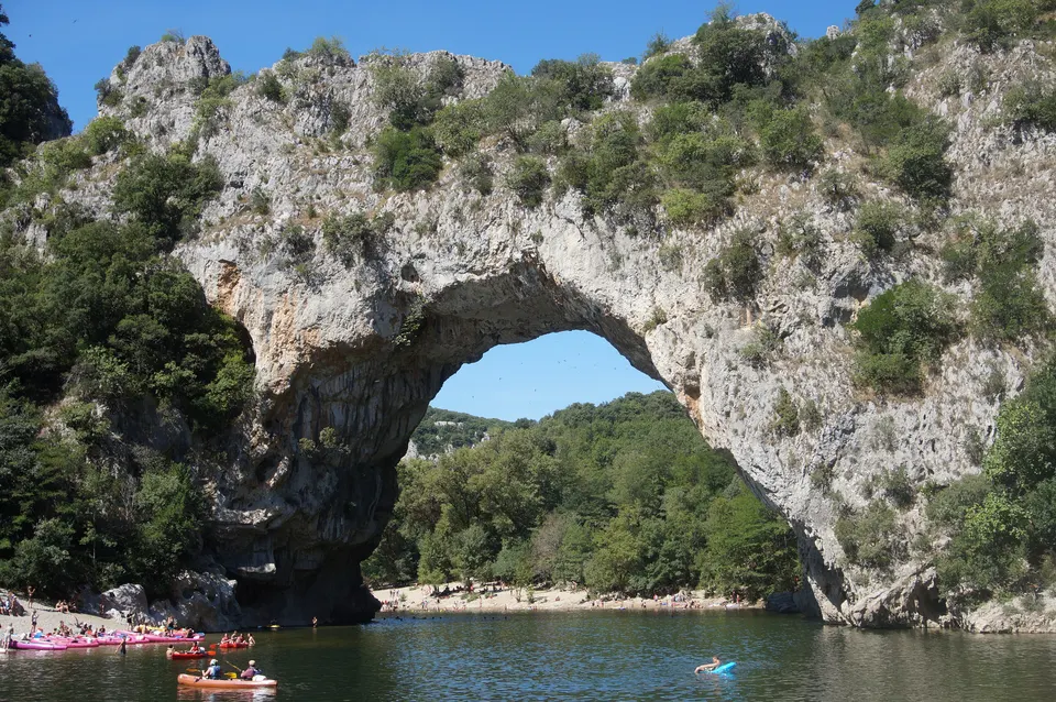
An arch carved by the river
For hundreds of thousands of years, the Ardèche flowed around the rock in a meander, the Combe d’Arc. Water seeped into the limestone until it pierced the cliff: the river now flows under the arch and has abandoned its old bed. According to Wikipedia, the arch will eventually disappear through erosion, in thousands or even millions of years.
Prehistory
The Pont d’Arc lies at the heart of an area of painted caves among the oldest known, used 30,000 to 40,000 years ago, including the Chauvet Cave, which is closed to visitors. Its reconstruction, Chauvet Cave 2, is a few minutes away.
Seeing it, getting there
From the gorges road, which starts in Vallon, or at water level by canoe: the mini-trip under the Pont d’Arc started at €28 in November 2026. In summer, come early: it is one of the busiest places in the Ardèche.
Book a trip
Paddle under the Pont d'Arc
 Mini-descent of the Ardèche with a passage under the Pont d'Arc in your free time!2 hours★ 4.9 (21 reviews)from €28Check availability
 Vallon-Pont-d'Arc: Canoeing/kayaking down the Ardèche : 7 km route★ 4.6 (16 reviews)from €38Check availability
 Vallon-Pont-d'Arc: Canoe/kayak descent of the Ardèche★ 4.5 (7 reviews)from €45Check availability
"From" prices checked on 9 November 2026 and may have changed.
Affiliate links: Vallon-Pont-d-Arc.com earns a commission if you book, at no extra cost to you. "Show live prices" loads the GetYourGuide module, which sets its own cookies (learn more (in French)).
Frequently asked questions
How do you get to the Pont d'Arc?
By car on the gorges road (D290), 5.6 km and 8 minutes from central Vallon according to OSRM, or by canoe from Vallon: the 7 to 8 km routes pass under the arch.
Can you swim at the Pont d'Arc?
Pebble beaches line the river below the arch. Swimming is at your own risk; the river is very busy with canoes in summer.
How high is the Pont d'Arc?
54 m high and 59 m long, according to Wikipedia.
Sources
Information checked against the sources below. Prices and opening times change: confirm before you go.
- Wikipedia, Pont d'Arc (in French), accessed 9 November 2026
- Wikipedia, Ardèche gorges: scenic road (in French), accessed 9 November 2026
- GetYourGuide widget, trips under the Pont d'Arc, accessed 9 November 2026
- OSRM on OpenStreetMap, driving times, accessed 9 November 2026